07/10
Surveying, Mapping
and Documenting
in Archaeology and Geography

Geospatial Data Collection
Apps
Exercise & Evaluation
Homework
Geospatial data collection
- Means of recording the data (devices, apps, workflow)
- No controller or friendly app connecting to the antenna (e.g. Emlid)
- Collect data ready to be incorporated into database
- Online (cloud) or offline database
Requirements for apps
- Adding attributes to point geometries (point ID, code, date)
- Stake-out option
- Export of data
- Offline surveying
- Data editing
- Library of data names/codes (other values)
- Point ID incrementing and reuse values from previous measure
Necessary attributes (form)
- PointID (or name)
- Point code
- Date and time
- Surveyor's name
- X,Y and H coordinates (UTM or national horizontal system, vertical system)
- Accuracy (horizontal - XY, vertical - H)
Other settings and important points
- Mock location (developer settings on smartphone, iphone!)
- Allow app connected to antenna to share location
- Correction license (started online) and coordinate system (ITRF2014)
- GPS on (and bluetooth)
- Correct geoid for vertical system (tiff or other formats, resolution)
Recording apps
- Mergin Maps
- QField
- Locus GIS
- ArcGIS Field Maps
- Penmap
Mergin Maps
- App for data collection (spatial / non-spatial vector)
- 3 levels system - PC QGIS, cloud and app
- Synchronization, versioning, connection to databases (PostGIS)
- Uses QGIS project structure (forms, variables, relations, layers...)
- Documentation
- Application (agriculture, environmental protection, archaeology...)
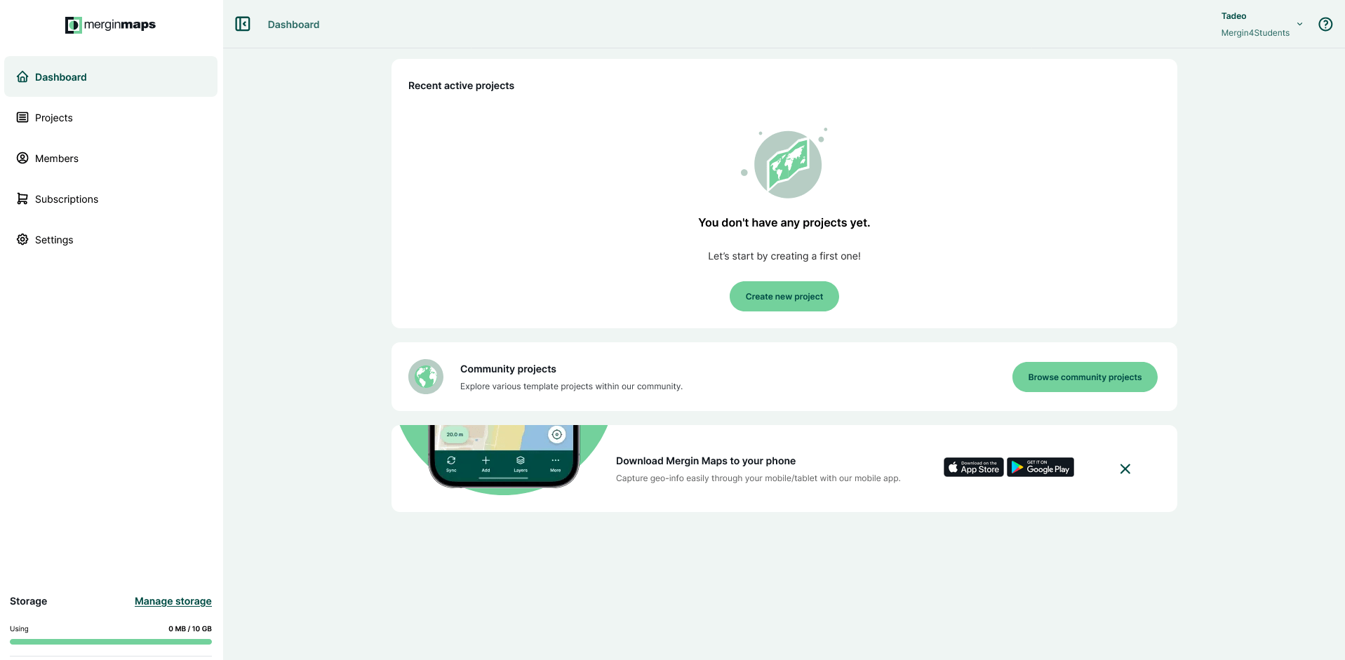
Our workspace and subscription
- Workspace "Mergin4Students"
- Education plan, 10 GB, unlimited members and projects
- Add members to the workspace (roles)
- Give reviews at G2 after measuring (also recommend a book)
https://app.merginmaps.com/dashboard
Workflow
- Create accounts and join the workspace
- Create QGIS project and upload it
- Download the project to the app
- Conduct the surveying and sync the data
- Browse and edit the data on PC and add them to database
Create account
- Follow the documentation
- Adding members to workspace

Preparing QGIS project
- Project content (basemap, vector layers)
- Map themes
- Download MerginMaps plugin and sign in
- Set project extent, photo names and quality, snapping, tracking, themes
- Forms
- Upload project via plugin
Forms
- Widget types (depending on data type)
- Form layout design
- 1-N relations (different from value relation, sub-objects)
- Drill-down menu
- Functions and variables (QGIS or MerginMaps), constrains
Mergin Maps app
- Download the app and sign in
- Download the uploaded project
- Surveying - recording the geometries and filling in forms
- Uploading the project to cloud (and browsing it in QGIS)
Issues (?)
- Offline sync
- Using correct geoid for orthometric heights
- Workspace storage limitation (not possible to transfer via cable)
- Mergin maps project and its permanent and temporary files (OneDrive)
- Synchronization of same features by 2 users (conflict files)
Other apps
- QField (cloud not required, cable, geoid, QGIS project structure and forms...)
- LocusGIS (no QGIS project, export, EGM96 15'x15' geoid only)
- ArcGIS Field Maps (offline areas, rich forms, only ellipsoidal coords showing)
- Penmap (Trimble, geoid, paid subscription)
Exercise
- prepare a QGIS project (area Mittelstrasse 43, Bern)
- install Mergin Maps
- see Mergin Maps documentation (at least the basics)
- create an account and an own project (can be edited at the next practical lesson)
- install the app QField
- install the app LocusGIS
Tadeáš: https://scanserveruls.unibe.ch/evasys/online.php?pswd=X1XDN
Susanne: https://scanserveruls.unibe.ch/evasys/online.php?pswd=YHNLF
Homework (until 6.12.)
- Install QGIS on your computer
- Apps on your smartphone:
- MerginMap
- QField (Android, iphone)
- LocusMap (Android, iphone), LocusGIS (Android only)
Homework (until 9.12.)
Read the article:
Hausleiter, Arnulf; Dinies, Michèle; Bouchaud, Charlène; Intilia, Andrea; Schimmel, Lena; Zur, Alina (2021): Al-Ula, Saudi Arabia. Archaeology and Environment from the Early Bronze Age (3rd mill. BCE) onwards. Season 2019. E-Forschungsberichte, Faszikel 1 (2021). DOI: 10.34780/b5t2-t686.
Surveying 07
By zastrugis


